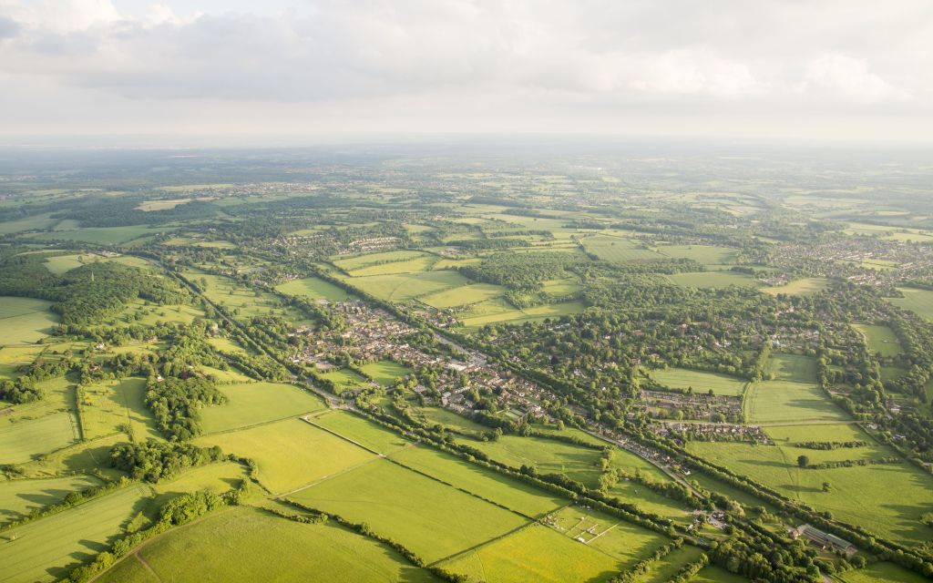
How can DHA assist your development using GIS?
Our Geographical Information System (GIS) service produces maps that help visualise data, identify patterns and support decision-making. Our planning, transport and environmental teams use it for analysis and presentation throughout their professional reports.
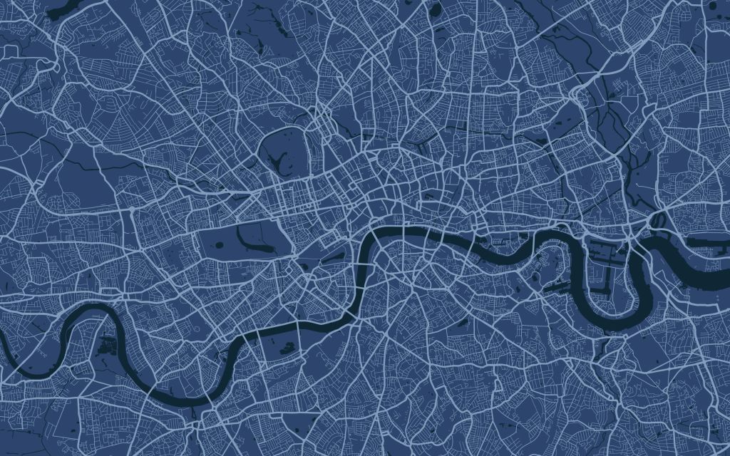
Environmental Statements
- Sensitive receptor plans showing local environmental designations, such as Sites of Special Scientific Interest, European sites and heritage assets
- Cumulative site assessments
- Agricultural land grade boundaries and values
Planning Reports and Local Plan Promotion
- Strategic maps of development constraints such as Green Belt, flood risk and Areas of Outstanding Natural Beauty, like our free Interactive Map
- Land ownership boundaries
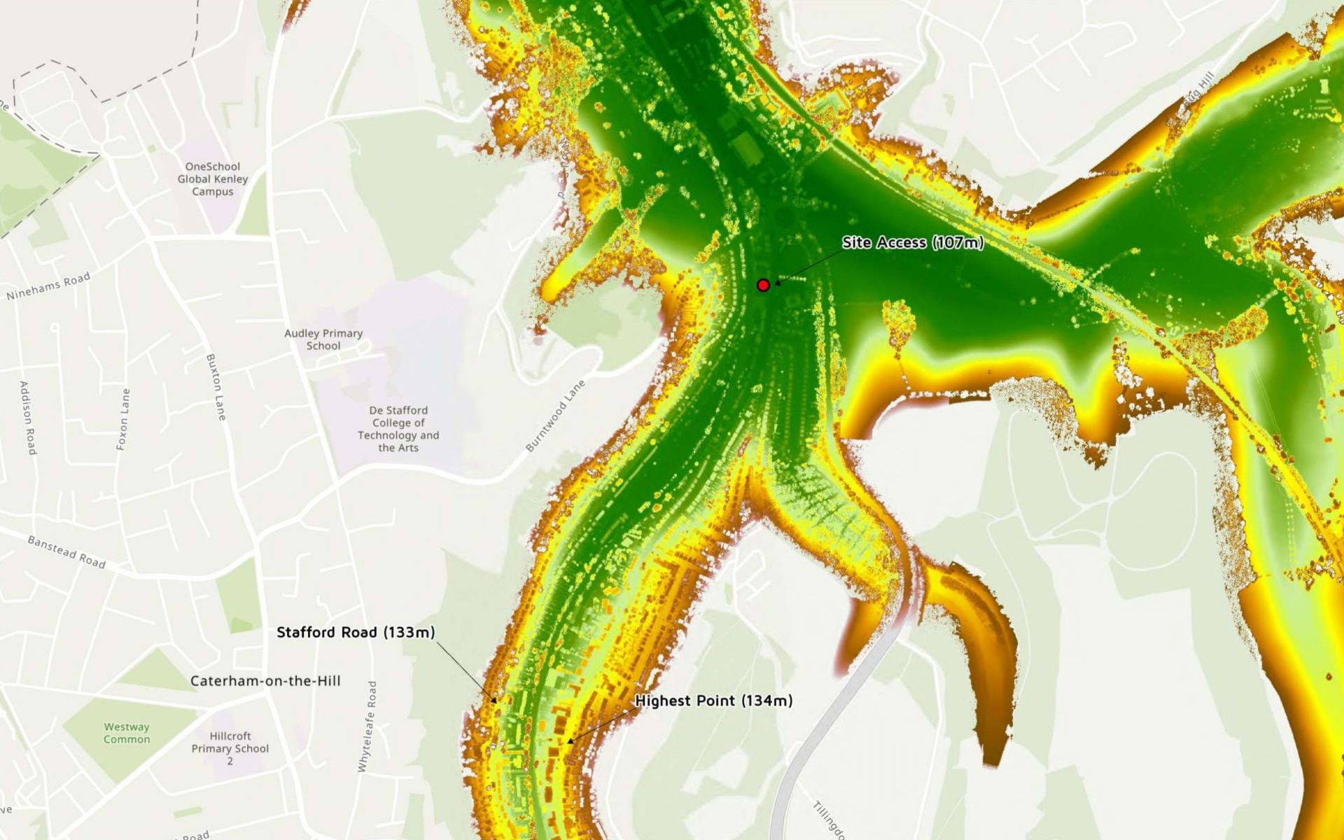
- Site elevations and topography using LiDAR
- Census data analysis within a defined area
- Land promotion, site allocation and strategic data to support Local Plan consultation responses
- Custom maps and graphics for reports
Transport Assessments
- Walking, cycling and drive-time analysis showing exact travel times from a site
- Transport isochrones showing the services around a site
- Postcode mapping, for example to show where employees or members are based
- Key transport links, and proposed new links
- Public rights of way and cycle routes around a site, to demonstrate sustainability
- Heat maps showing the density of data across an area

The GIS team

Carleigh leads DHA’s Design team, bringing together her expertise in planning and urban design to deliver high-quality, commercially viable and contextually responsive development schemes.
Carleigh Westwell MTCP UDCERT
Associate Director
Carleigh leads DHA’s Design team, bringing together her expertise in planning and urban design to deliver high-quality, commercially viable and contextually responsive development schemes.
Carleigh joined DHA in 2010 with a Master’s degree in Town and Country Planning and has since gained a postgraduate qualification in Urban Design. Combining her extensive knowledge of the planning system with her design expertise, she develops creative and practical schemes that maximise the potential of land while responding to local needs, including housing, community facilities and healthcare provision.
As well as working day to day on a broad range of projects relating to a variety of residential, commercial and mixed-use development schemes, Carleigh has led several high profile masterplanning projects and manages the Design team and provides the necessary support to our Planning teams to deliver the highest quality outcomes possible.
Carleigh also runs the GIS umbrella of DHA and continues to develop innovative ways in which the software can be used to support planning applications.

Matt has worked at DHA since April 2021. He joined DHA coming straight from sixth form with two A levels in Maths and Computer Science and a BTEC in Engineering.
Matthew Marsh BTEC
Highways and Design Technician
Matt started working in the Urban Design team before moving to the Transport team in Mid-2022. Matt is our current GIS technician and has many skills in different programs including:
- Creating Plans and access design on Auto CAD,
- Using Vehicle Tracking to create Vehicle swept path analysis,
- Making 3D models in Sketchup,
- Creating and analysing Excel spreadsheets,
- Creating reports and infographics in InDesign; and
- Editing plans and photos in Photoshop.
Matt is recently completed a course in GIS to improve his knowledge and skills in that area and is now studying 2D Computer Aided Design at Ashford College.

Toby joined DHA in September 2023 as a Graduate Planner after graduating from the University of Southampton with a BA in Geography in July 2023, he has recently been promoted to a Planner.
Toby Hill BA
Planner
Toby is based in our Kent office and as part of his graduate rotation has worked alongside Matt Blythin's team and now John Collins. He is builidng up his knowledge and experience of the UK planning system and is a keen user of GIS.